
Smarter Stormwater and Flood Modeling
A comprehensive system for modeling hydrology, hydraulics, and water quality. Get the full picture for all scenarios.

Stormwater and Watershed Management
Simulate rainfall-runoff, pollutant build-up, wash-off, and routing using best-in-class modeling technology and design your stormwater infrastructure all from an ArcGIS Pro-integrated modeling environment.
Quick, Interactive Model Building
Import your GIS data for subcatchments, pipes, and other components into the model, and GeoSWMM will lead you through a rich set of tools to simplify model building tasks.
Maintain Long Term Model Integrity
By using GeoSWMM, you can reduce data redundancy and errors while improving data security, consistency, and access.
Modeling for the Real World
GeoSWMM provides a realistic representation of urban drainage and flood processes, avoiding common pitfalls and disconnected analyses of hydrology and hydraulics.
- Design Urban Drainage Systems with GeoSWMM ➜
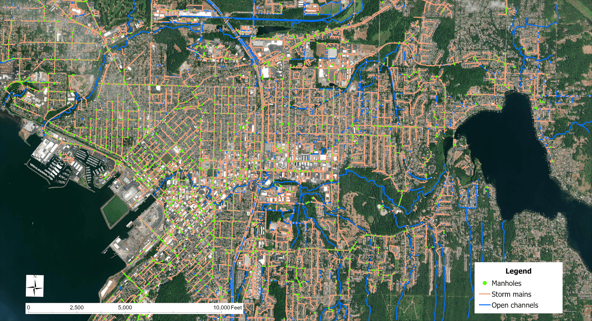

Dual Drainage Modeling
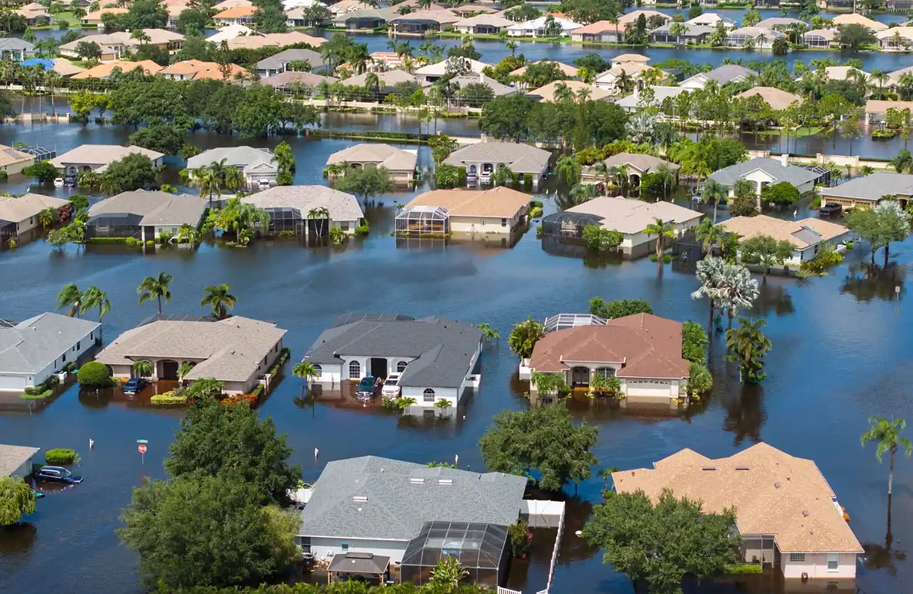
Urban flood resilience depends on effectively designed and adequately maintained dual drainage systems. GeoSWMM helps optimize above ground and underground conveyances to minimize flood risk.

Build Complex Models with Ease
GeoSWMM's interactive model-building process captures the real-world complexities of parameterizing a coupled surface and underground hydraulic system model.

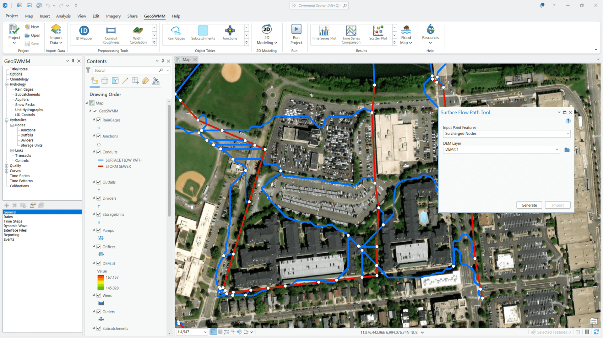
Surface Flow Path Generation
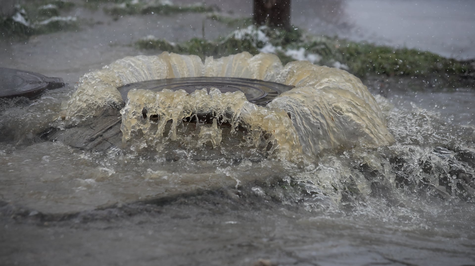
Storm sewer overflows often follow undefined flow paths. Use GeoSWMM to identify these flow paths and mitigate flooding.

Apply Various Design-Storms and Compare Conveyance Options

Evaluate Performance of Existing Infrastructure Under Climate Change

Climate Resilience and Flood Mapping
With GeoSWMM, you can combine flood predictions with population and asset GIS data to inform capital improvement plans, enhance design standards, and enable climate adaptation strategies.
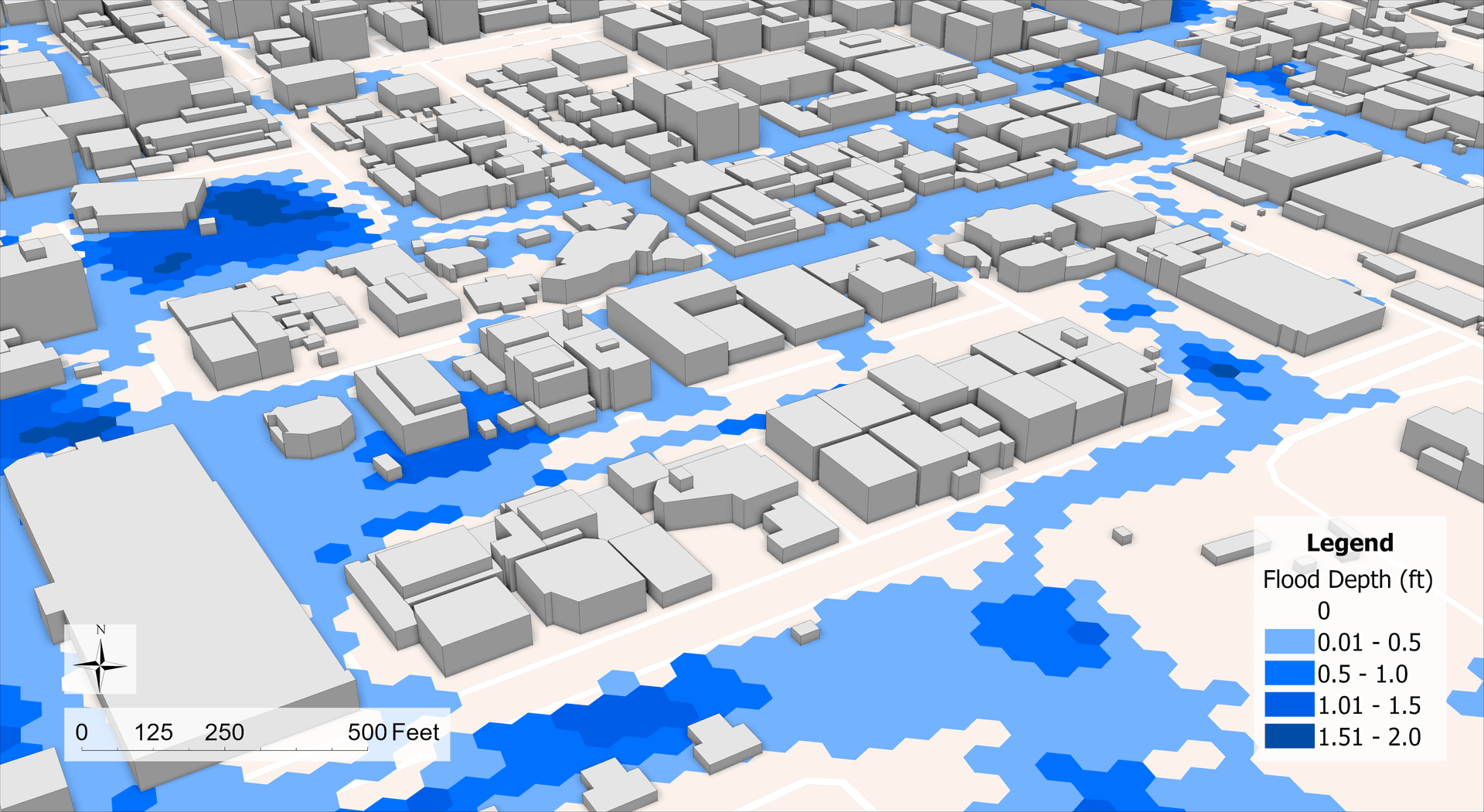
Assess Infrastructure Vulnerability
Use downscale GCM results to assess the impact of climate change on local flooding and develop preventive measures.
Automated Flood Map Delineation
Save time by automatically creating flood maps from model results and topographic data.
Assess compound flooding from riverine, tidal, and sea-level interactions
FEMA-Approved Model Engine
- Assess Urban Flood Risk with GeoSWMM 2D ➜

Water Quality Modeling
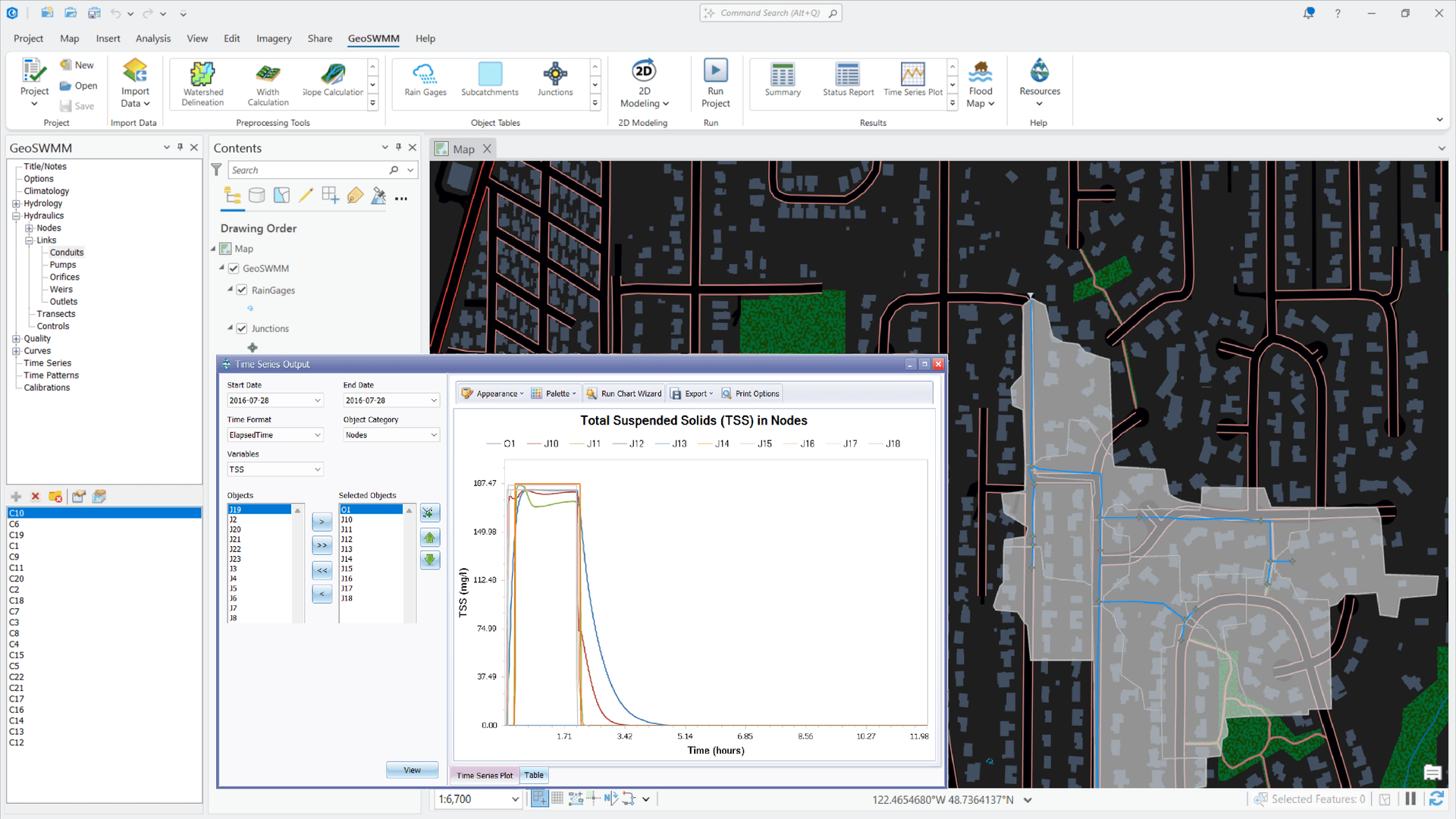
Model the generation, fate, and transport of pollutants on land and in water, and see the improvements you can make with BMPs, LIDs, and even regular street sweeping.
Meet Regulatory Requirements
Follow water quality standards and satisfy MS4/NPDES permit and TMDL requirements.
Easily Define Pollutant Behavior
Model any number of particulate and dissolved pollutants from point and non-point sources.
Apply Land Use-Specific Build-up and Wash-off
Specify Atmospheric Deposition, Groundwater Concentration, and More
- Learn Water Quality Modeling with GeoSWMM ➜

Low Impact Developments (LIDs) and Best Management Practices (BMPs)
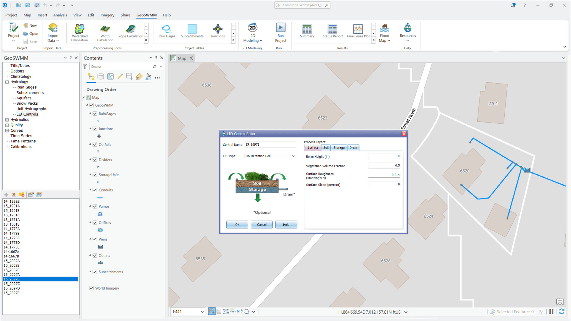
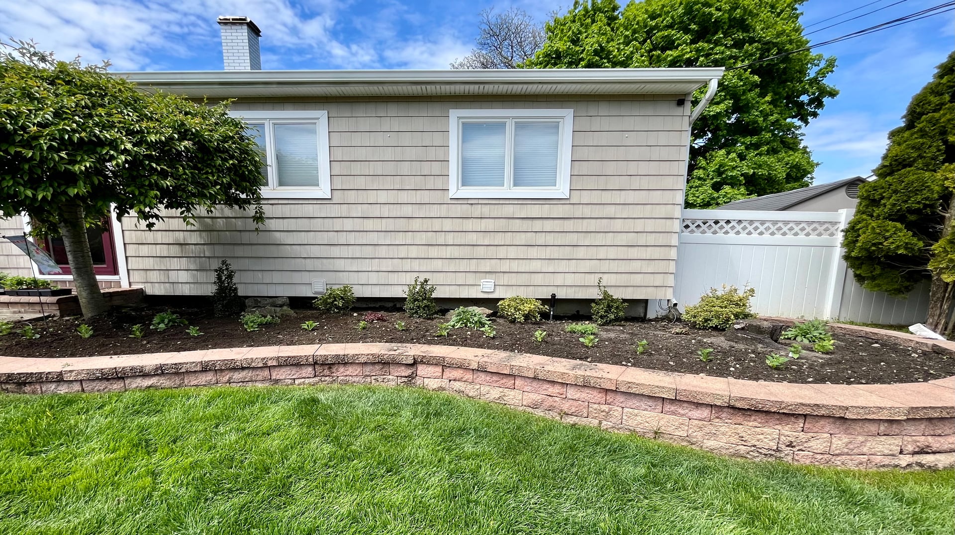
GeoSWMM helps you evaluate control strategies and green infrastructure to create sustainable solutions that promote infiltration, stormwater runoff reduction, and better water quality.

Model LID and BMP Impact
Understand the benefits of LIDs and BMPs by simulating their impact on peak runoff, total flow volume, pollutant load, and more.

What LIDs Are Supported?
Bio-retention cells, rain gardens, green roofs, infiltration trenches, permeable pavements, rain barrels, rooftop disconnections, and vegetative swells.

Detention Pond Design
Determine the storage volume and outlet design required to match pre-development conditions.

Sanitary Sewer Systems
GeoSWMM helps you design new and rehabilitate existing sewer systems to better meet regulations, minimize pollution, and improve public health.
Design Wastewater Collection Systems
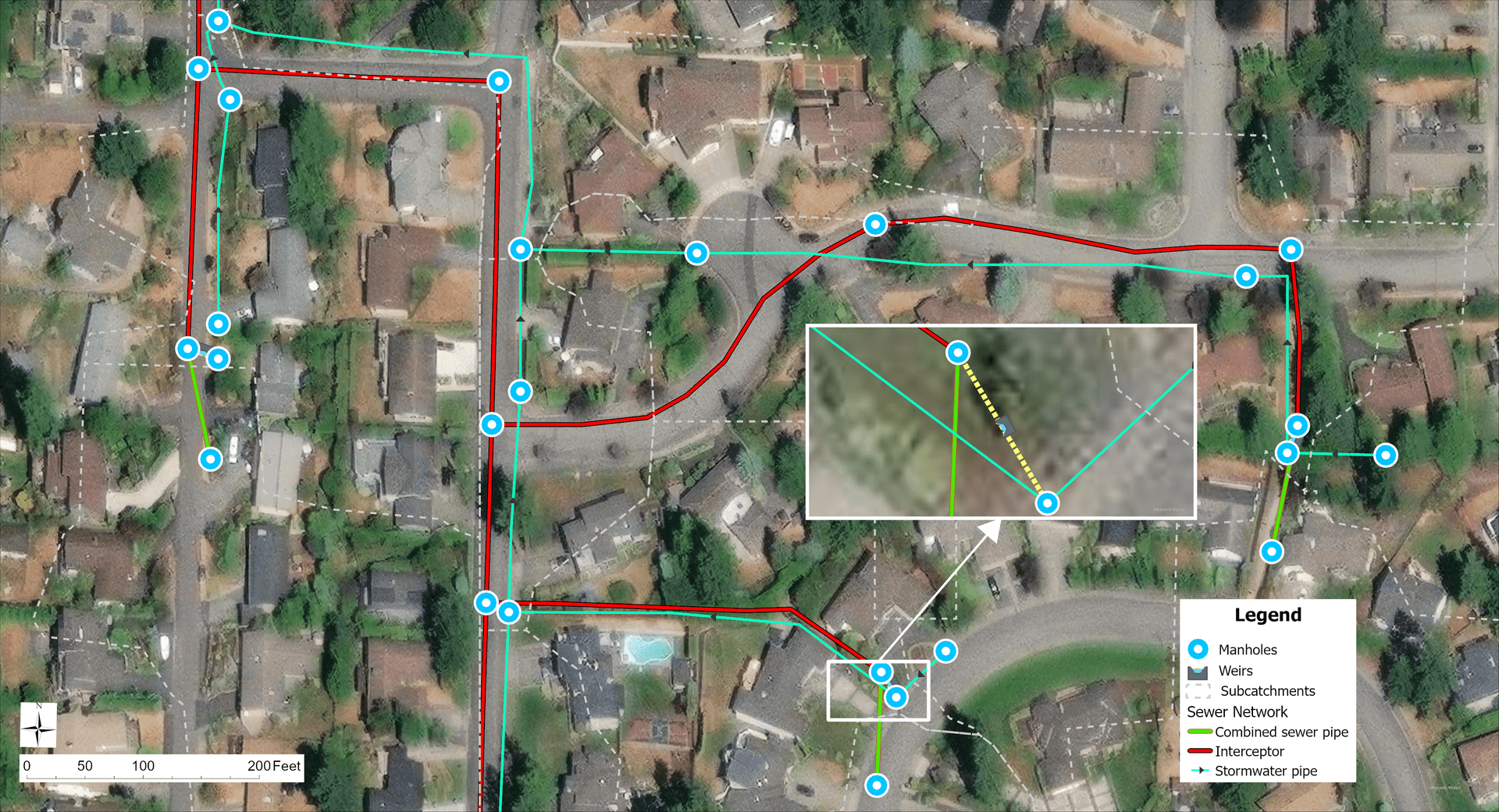
Create comprehensive sanitary sewer system models in a user-friendly, ArcGIS-integrated modeling environment.
Combined Sewer Overflow (CSO)
Analyze the capacity of existing systems and develop control measures to eliminate CSOs.
Identify and Quantify Inflow and Infiltration (I/I) across Sewer Networks
Evaluate System Performance through CMOM-Based (Capacity Management, Operation, and Maintenance) Planning
- Learn Sanitary Sewer System Modeling ➜
Protect Our Critical Water Assets and the Built Environment


