Start Modeling with
GeoSWMM Today
Choose the perfect plan for your modeling needs
Free Trial
Explore core features with a 30-day subscription.
Academic
Advance your learning with a 180-day subscription.
Standard 1D
Unlock full-scale 1D modeling with a 12-month subscription.
Standard 2D
Power up with integrated 1D-2D flood and sewer modeling with a 12-month subscription.
Team
Scale your stormwater modeling with flexible license management and a 12-month subscription.
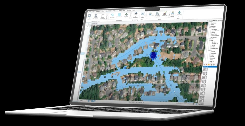
Runs on ArcGIS Pro platform
100% compatible with EPA's SWMM 5
Store data in file geodatabase
Tabular view of input data
User manual and tutorials
Node/Link limit
Watershed delineator
Imperviousness calculator
Watershed slope calculator
Land-use property tools
Subcatchment width calculator
Conduit roughness estimator
Link inlet-outlet ID assignment
Network connectivity checker
Import SWMM 5 input file
Export SWMM 5 input file
1D flood mapping
Dual drainage modeling
Integrated 1D-2D modeling
2D modeling, assessment, and visualization
Multi-user license management for administrators
| License Features | Free Trial | Academic | Standard 1D | Standard 2D | Team |
|---|---|---|---|---|---|
| Runs on ArcGIS Pro platform | |||||
| 100% compatible with EPA's SWMM 5 | |||||
| Store data in file geodatabase | |||||
| Tabular view of input data | |||||
| User manual and tutorials | |||||
| Node/Link limit | 30 | 30 | Unlimited | Unlimited | Unlimited |
| Watershed delineator | |||||
| Imperviousness calculator | |||||
| Watershed slope calculator | |||||
| Land-use property tools | |||||
| Subcatchment width calculator | |||||
| Conduit roughness estimator | |||||
| Link inlet-outlet ID assignment | |||||
| Network connectivity checker | - | - | |||
| Import SWMM 5 input file | - | - | |||
| Export SWMM 5 input file | - | - | |||
| 1D flood mapping | - | - | |||
| Dual drainage modeling | - | - | - | ||
| Integrated 1D-2D modeling | - | - | - | ||
| 2D modeling, assessment, and visualization | - | - | - | ||
| Multi-user license management for administrators | - | - | - | - |
Launch GeoSWMM
Experience the benefits of GeoSWMM—your software for stormwater and flood modeling.