Introducing GeoSWMM
Experience GeoSWMM — advanced stormwater modeling software for resilient cities.
Posted on Sep 17, 2026
Experience the benefits of GeoSWMM—your software for stormwater and flood modeling.
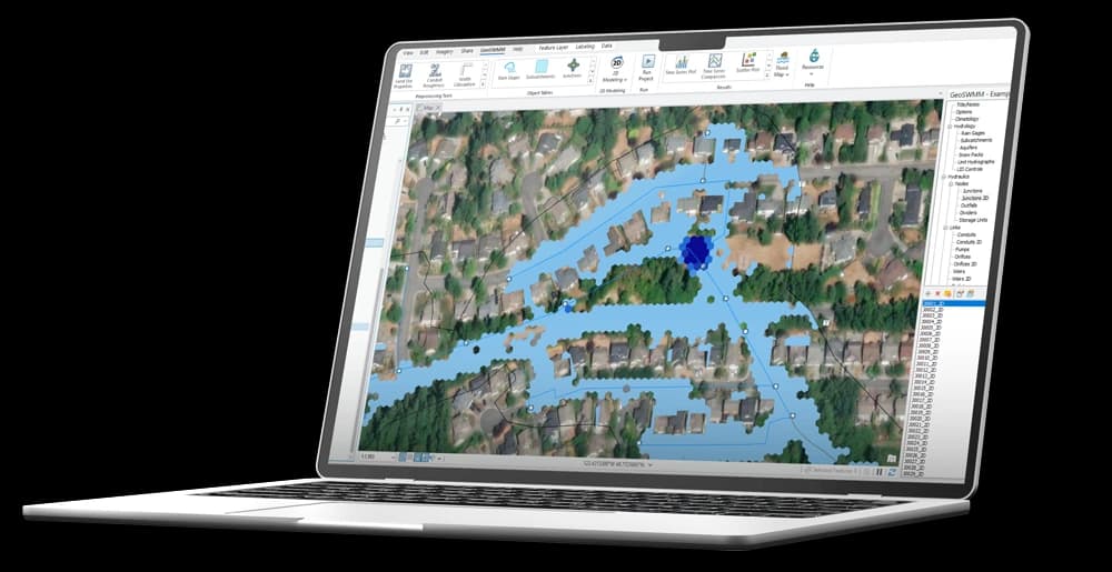
Experience GeoSWMM — advanced stormwater modeling software for resilient cities.
Posted on Sep 17, 2026
Learn how to use GeoSWMM with ArcGIS Pro to model stormwater, wastewater, and urban flooding, run rainfall-runoff simulations, and analyze the results.
Posted on Sep 17, 2026
GeoSWMM automatically delineates watershed and urban catchment boundaries from DEM data directly within ArcGIS Pro.
Posted on Sep 17, 2026
GeoSWMM's dual drainage modeling seamlessly connects surface runoff and underground pipe hydraulics within ArcGIS Pro, enabling engineers to better evaluate urban flooding.
Posted on Sep 17, 2026
The GeoSWMM Network Analysis Tool automatically detects disconnected pipes, isolated manholes, duplicate features, invalid geometry, and attribute-level inconsistencies—helping you identify and resolve problems before model execution.
Posted on Sep 17, 2026