Model Building by Browsing Input Feature Layers
In many cases, however, the features needed to build the model are not available as an ArcGIS Pro map TOC layer. In this case, the drag and drop feature cannot be utilized here. In this case, the user can manually browse the feature from the Import data > Import Layer option. Here, the user is able to populate the different layers found in GeoSWMM by manually looking for these on the hard drive or adding from the ArcGIS Pro map TOC layer. After adding each layer, pressing the import button allows the user to add the feature to a queue. Later on, as all the features are added to queue pressing the OK button assigns the features to the GeoSWMM layer. In the following figure, the entire process has been shown step by step:
- Click on Model Setup from the GeoSWMM tab.
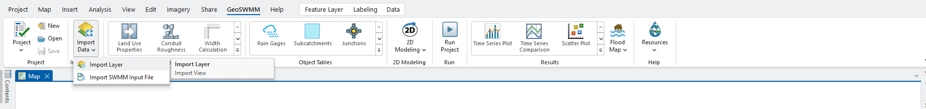
Fig. 65: GeoSWMM Model Setup using Import Layer Option
- The attribute mapping window will appear like the same illustrated in the previous section under Drag-and-drop system model builder. Continue step 2-6 to import the layers into the GeoSWMM project.
During property mapping, it is not essential to assign all of the parameters from the data layer fields except for the Name field, which is the unique identifier for any visual object in SWMM model. Users can the drag-and-drop operation any number of times in the workspace and it will update the model information accordingly.