
Stormwater Infrastructure Planning
Optimize stormwater system design with advanced tools that enable accurate modeling and data integration, ensuring your projects are built to last.

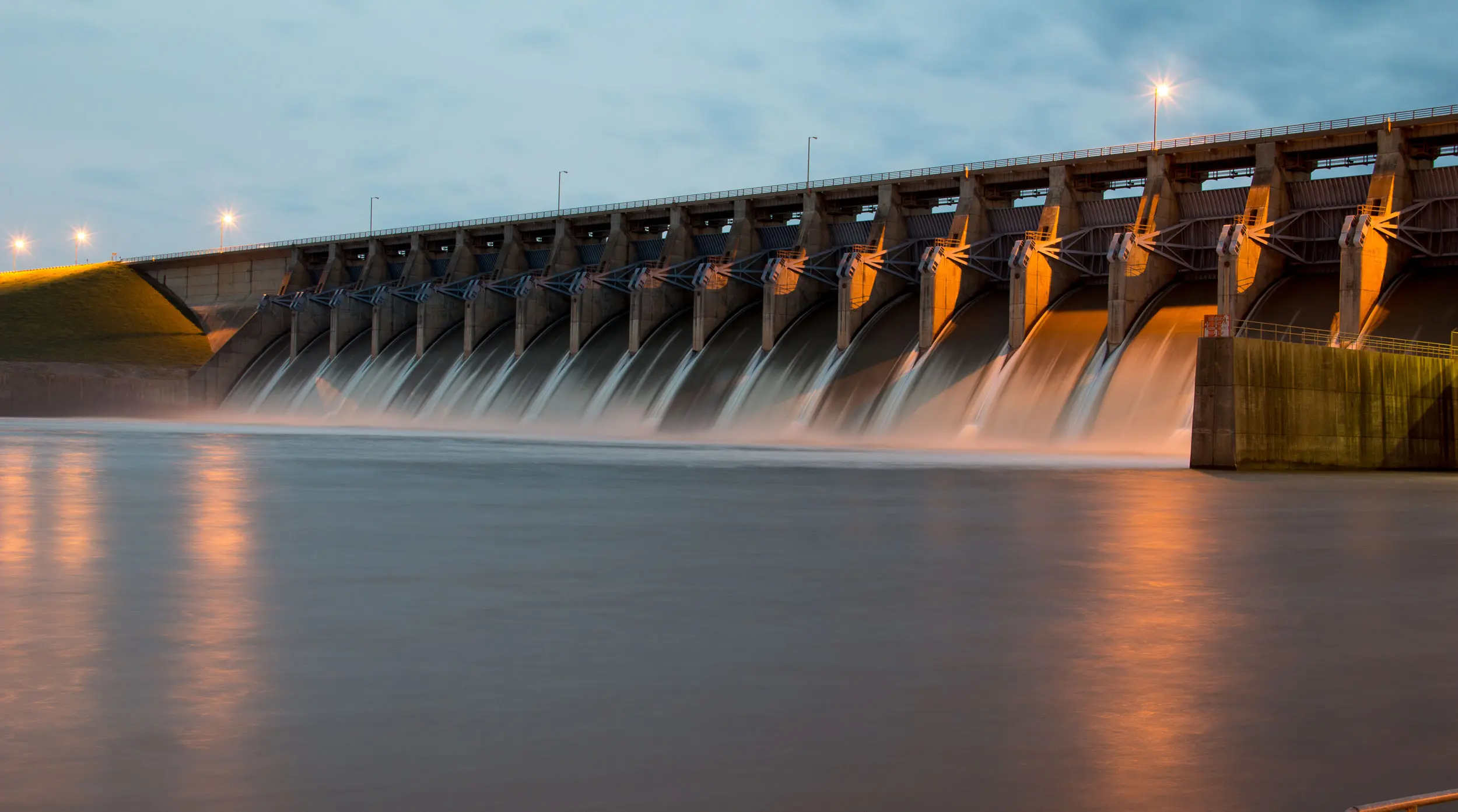

Driving innovation with smart tools that help engineers and cities build resilient, sustainable water systems.

GeoSWMM 2D for ArcGIS Pro
is here –get started today!
We combine engineering expertise with digital tools to help cities and utilities manage water infrastructure with efficiency and confidence.

GeoSWMM 2D for ArcGIS Pro
is here –get started today!
Utilian integrates H&H modeling with GIS and data analytics to streamline flood modeling, compliance, and infrastructure planning.

GeoSWMM 2D for ArcGIS Pro
is here –get started today!
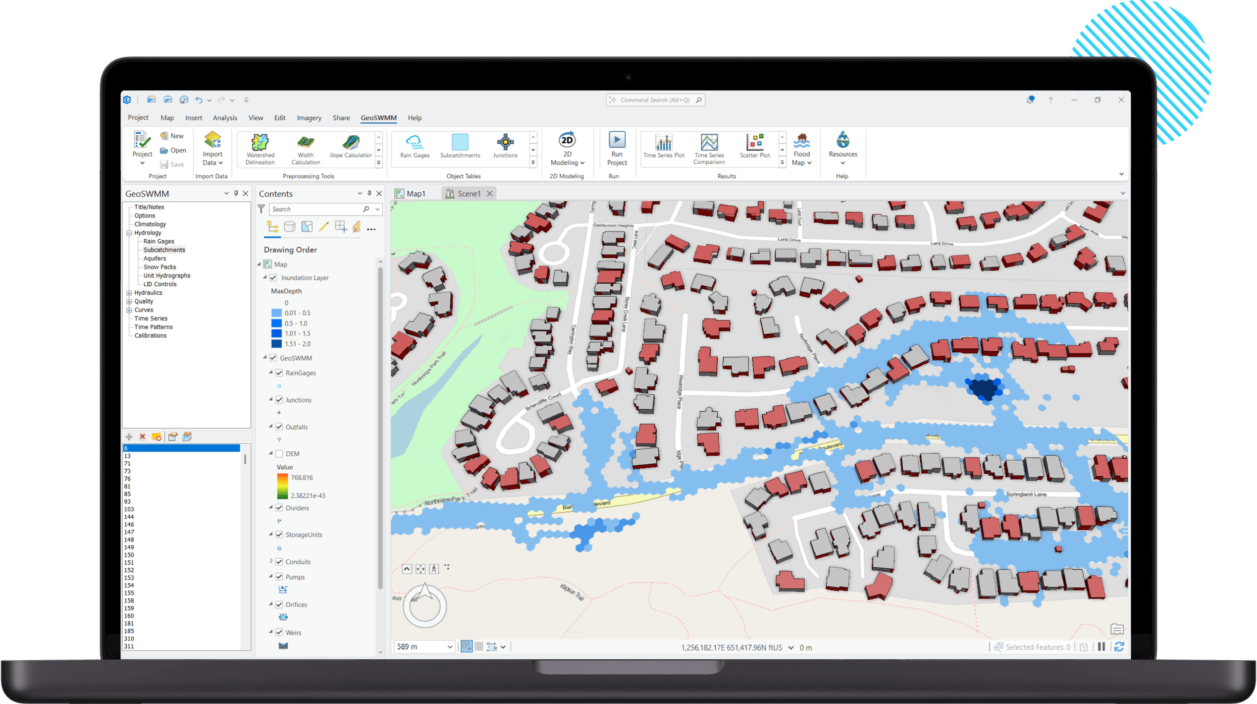
Utilian provides innovative software solutions for water and infrastructure professionals and utilities. By combining GIS, advanced modeling, and engineering expertise, our solutions help organizations plan, analyze, and manage resilient, sustainable water and infrastructure systems.


Optimize stormwater system design with advanced tools that enable accurate modeling and data integration, ensuring your projects are built to last.
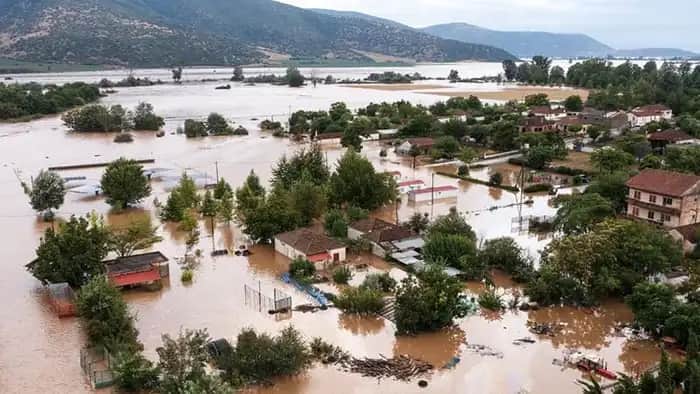
Leverage predictive and data analytics to enhance flood mitigation and disaster preparedness, reducing risks for communities and infrastructure.
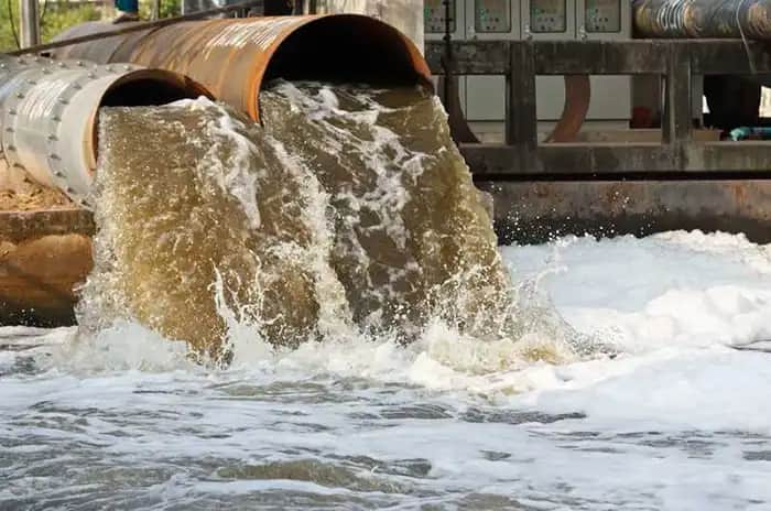
Implement Best Management Practices (BMPs) and Low Impact Developments (LIDs) to reduce pollution, protecting ecosystems and public health.

Stay ahead of the environmental regulations with software designed to streamline compliance.

Improve the lifecycle management of water infrastructure with digital tools that provide detailed analytics and simplified reports for decision-making.

Facilitate transparent and effective communication among engineers, regulators, and communities using integrated tools for data sharing and reporting.

Utilian's products are built on a deep understanding of water management challenges, connecting engineering methods, system data, and end-users through innovative information technology applications. Whether you're mitigating floods, managing water utilities, or adapting to climate change, our software provides the efficiency, user-friendliness, and high performance you need.