Build Model Network
In this example, the model network will be developed using the available GIS shape files of the drainage system. This approach is called Drag and Drop Model Building Technique. To build the model network using this technique in project-* Example.gdb *we have to follow the procedures described below:
- In ArcGIS Pro Map table of contents, select the shape file- Subcatchment. Press the left button of the mouse on it and hold. Then drag it to the Model Object Panel and release it over the object- Subcatchments. An attribute mapping window will appear like the following image:

Fig 13: Attribute mapping window for subcatchment objects
-
Assign the property fields appropriately in this window. First click import to add the feature to queue and then click *OK *to accept the changes made and exit from the window. Note that Name field must be assigned here. Other properties are optional. If not assigned, then the program-default values will be assigned automatically.
-
Follow steps 1-2 similarly for objects-* Rain Gages, Junctions, Outfalls and Conduits*.* *The layer attributes can be mapped in any order. While mapping subcatchment and conduit properties, custom area and length entries can be assigned respectively, by specifying User Defined Area and User Defined Length fields. If these fields are not specified, GeoSWMM will automatically calculate the subcatchment areas and conduit lengths using the ArcGIS Pro map projection information and with help of calculate geometry.
-
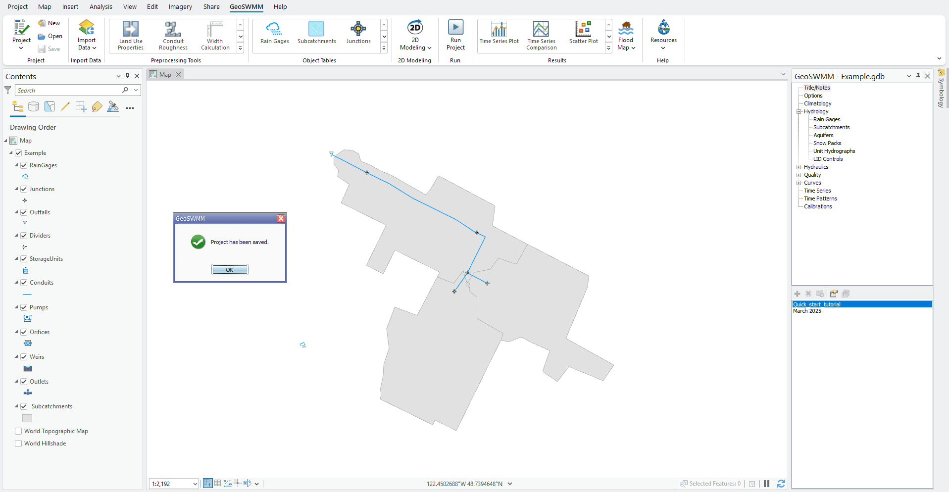
The model network is already developed. After the mapping is complete, click on the Save (
) Button on GeoSWMM tab. The project will be saved and show a notification message like the following figure. Click OK to accept.

Fig 14: Project save notification
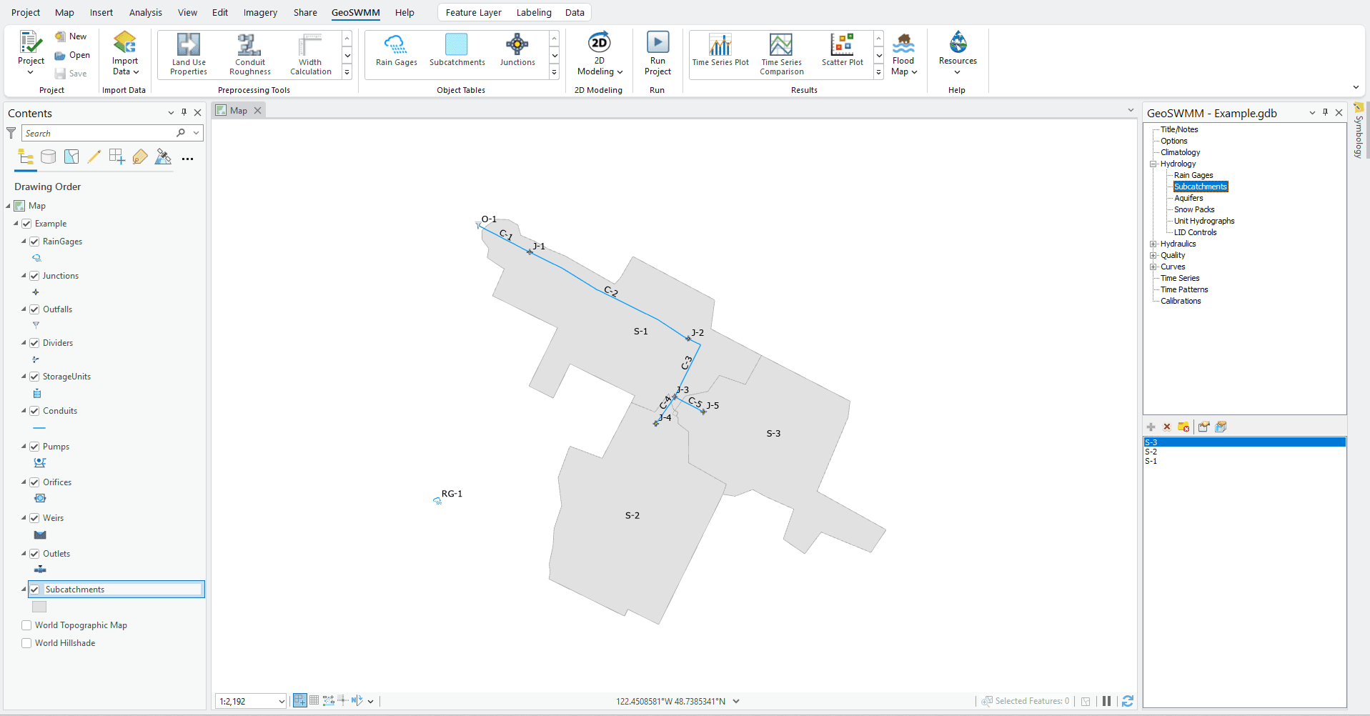
- It is to be noted that the geodatabase shows its layers with program-default symbology. However, object symbology properties from the supplied layer (.lyrx) files can also be used. Uncheck the shape files in the table of contents. Now the ArcGIS Pro Map window will display only the model geodatabase features. The Model Object Panel also shows a list of objects under each network item. Model network building is complete. Now the object feature classes need to be labeled as shown below.

Fig 15: GeoSWMM model network
