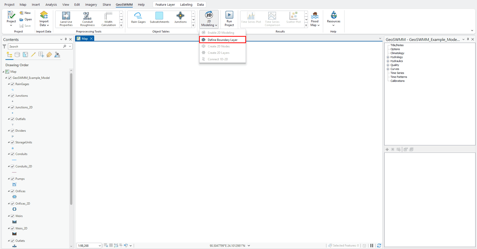
Defining Boundary Layer
After migrating to 2D model, user can generate boundary layer features using the Define Boundary Layer tool. Without defining the boundary layer, 2D nodes and 2D network cannot be generated. User can create or import a boundary layer in the GeoSWMM project by:
-
Importing an existing layer and/or
-
Drawing/Editing a new layer
The defined boundary layer will be saved within the project as Boundary Layer.

Note: While importing or creating a new boundary layer feature(s), GeoSWMM processes the primary data within a temporary layer called Working_Layer, which is temporarily added to the ArcGIS Pro map ToC. When the Boundary Layer import process is finished, all the features from this temporary layer will be copied to the project’s Boundary Layer.

Fig.145: Define Boundary Layer Tool in 2D Modeling tools
